Determine if Your Property is Zoned Properly
Within the city limits, zoning establishes the permitted uses for a property, along with associated site development regulations like setbacks, height, landscaping, and lot coverage. Zoning helps provide for safe, orderly, healthful, and coordinated development of the City by conserving existing and future developments, protecting the value of real property, and facilitating adequate and efficient transportation, water, wastewater, schools, parks, emergency and recreational facilities, and other public requirements. The City does not regulate the use of property in the ETJ. Travis County issues permits in the ETJ.
You can locate your property on the interactive zoning map to determine its current zoning. (PDF version)
You can determine permitted and conditional uses for your property with the zoning guide.
For More Information
Complete the Zoning Process
If the site for your property must be re-zoned, you must go through the zoning process. The steps of the zoning process are as follows:
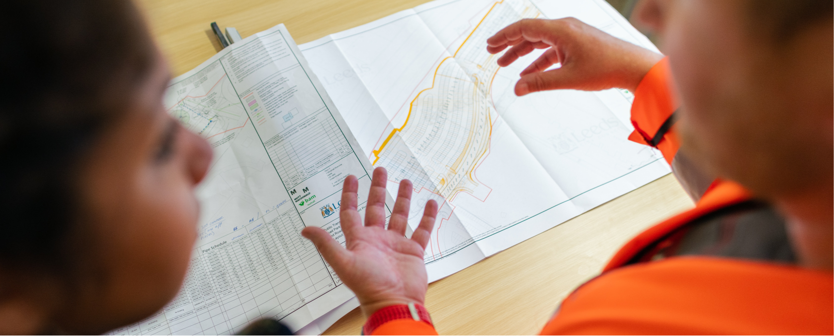
1. Determine current zoning of the property.
2. Submit an application with MyPermitNow, which should include:
- Your deed of ownership.
- Tax map showing property owners within 300 feet.
- Mailing labels of property owners within 300 feet.
- If there is not a lot and block description, metes and bounds survey description of the property or area to be rezoned.
- An application fee .
3. Once the application is submitted, the request for re-zoning will be scheduled for the next Planning Commission meeting.
- Complete and paid for zoning applications will be scheduled for the next Planning Commission date. Planning Commission meets the second Wednesday of every month at 6:30 PM at City Hall.
4. The Planning Commission will make a recommendation to the City Council. City Council will hear the request twice.
Fees and Timeline
The re-zoning process generally takes about 60 days.
The cost to submit a plan is $465 + $30 per acre, plus $5 per property owner within 300 feet.
For More Information
Complete the PUD Zoning Process
PUD Zoning Process
The goal of the Planned Unit Development district is to encourage imaginative and innovative designs for the development of property in the City that remain consistent with City Ordinances and accepted urban planning. Code of Ordinances relating to PUDs.
In order to obtain a PUD approval, you must:
1. Set up a consultation with city staff. Email sdunlop@cityofmanor.org or call (512) 272-5555.
2. Submit a Preliminary PUD Site Plan
- This plan will show the location and mix of proposed uses, points of ingress and egress, parking areas, building locations and height, lot coverage, open spaces, landscaping, topography, and relationship to adjacent property.
- Once approved by city engineers, the Preliminary PUD Site Plan must be recommended by the Planning Commission, then approved twice by City Council.
3. Submit a Final PUD Site Plan
- The final plan must contain all details required for development, subdivision, zoning, and enforcement of special conditions and regulations.
- Once approved by city engineers, the Final PUD Site Plan must be recommended by the Planning Commission, then approved twice by City Council.
4. Upon approval of the Final PUD Site Plan, the area will be officially zoned as PUD, along with any conditions and limitations defined by the PUD agreement.
Fees and Timeline
The PUD Zoning process generally takes six to nine months. City engineers will issue comments within 30 days of submittal of both the preliminary and final plan.
The cost to submit a PUD Site Plan is $625 + $40 per acre. These fees are due when you submit the Preliminary PUD Site Plan.